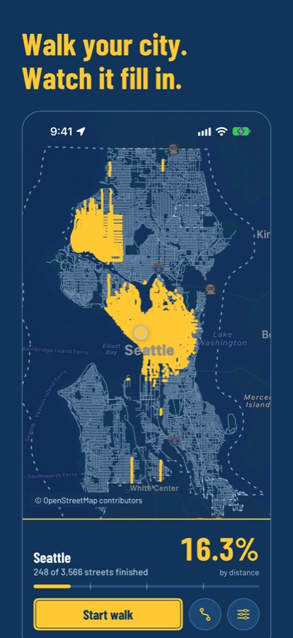
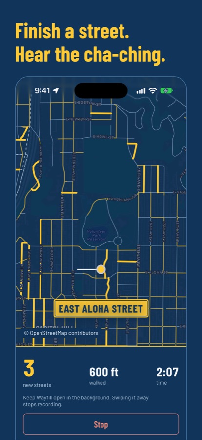
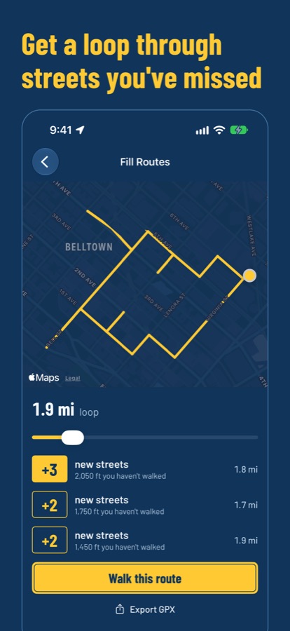
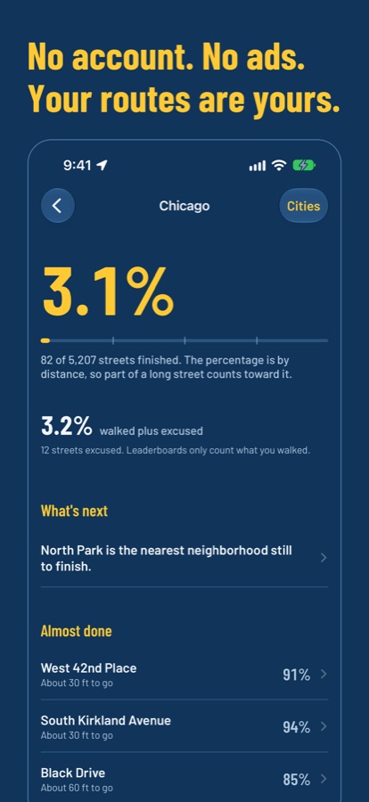
Wayfill colors in every street you walk or run, and shows how much of your neighborhood and city you’ve finished.
Download on the App StoreFree for your home city. For iPhone, with Apple Watch.
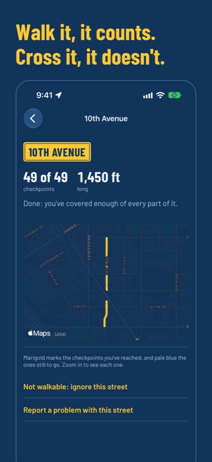
Wayfill checks each street along its whole length, about every 10 meters, so crossing at an intersection doesn’t count as walking it. A street is finished once you’ve covered nearly all of it, and you can turn on strict mode to need every last checkpoint.
Open any street to see what’s done and what’s left. If a street on the map is private, gated or not really there, set it aside, and it stops counting against you.
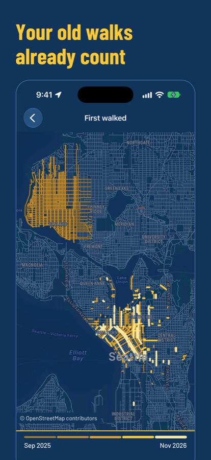
Bring your whole history of walks, runs and hikes from Apple Health, free. Your map starts with what you’ve already done.
With Pro you can also import GPX, FIT and TCX files, including a whole Strava or Garmin export. Rides are left out. Coming from another app?
Your routes stay on your iPhone, and walks Wayfill records back up to your own private iCloud. Leaderboards only ever receive street counts.
A route leaves your phone only if you choose to attach one to a wrong-street report, with its ends cut off first. Wayfill works with While Using location; Always is only for optional automatic walk detection. Privacy policy
Every city and town in the United States, Canada, the United Kingdom, Ireland, Australia and New Zealand, with street maps from OpenStreetMap that update every month.